

Long-range outlooks point to a strong El Niño influence for winter 2026-27. For Austin homeowners, the useful question is how a potentially wetter and more active southern storm track changes ordinary roof-maintenance priorities.
The Old Farmer’s Almanac published its 2026-2027 winter outlook on August 8, 2026, describing a “Super El Niño” as officially underway and expected to strengthen further into the season. That framing matters because El Niño winters tend to reshape where storm energy goes across the southern United States.
The answer is not a prediction of a particular hailstorm or freeze. It is a reason to pay more attention to flashing, drainage, penetrations, previous storm damage, and other weak points before a wetter pattern develops.
Seasonal outlooks always carry a margin of uncertainty, and forecasters are careful to note that El Niño’s strength this fall could still shift before winter fully arrives. Even so, the models tracking sea surface temperatures in the tropical Pacific have been unusually consistent since midsummer, which is part of why the Almanac and other forecasters are treating the “strong to super” framing as more than hype.
Why an Active Southern Storm Track Matters to Roof Maintenance
Meteorologist Crystal Egger, cited in the Almanac’s outlook coverage, noted that a strengthening El Niño can favor a more active storm track across the southern tier of the country. In plain terms: more low-pressure systems and more moisture colliding with cold fronts, more often than a typical winter.
El Niño winters shift the polar jet stream southward and intensify the subtropical jet, the atmospheric river that historically funnels Pacific moisture across the Gulf Coast states. When that moisture collides with cold fronts dropping out of the Plains, the result tends to be more numerous storm systems rather than isolated one-off events.
Reporting on the same outlook noted that a strengthening El Niño can favor a more active storm track specifically across the southern tier, which includes Central Texas. That’s a different mechanism than a typical La Niña winter, which tends to push storm tracks north and leave Texas drier.
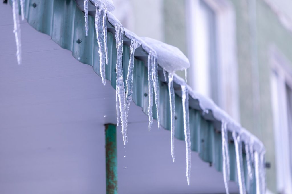
For roofing, a more active pattern can mean more opportunities for rain and wind to expose existing defects. Freeze-thaw cycling may occur during individual cold spells, but a seasonal El Niño outlook does not guarantee repeated freezing conditions in Austin.
Compare that to a typical neutral or La Niña winter in Central Texas, where dry stretches can run for weeks and the main roof risk is prolonged UV exposure rather than repeated wetting. An El Niño winter flips that dynamic, trading dryness for frequency, which changes what kind of roof damage tends to show up first.
El Niño Does Not Automatically Translate Into Austin Hail Risk
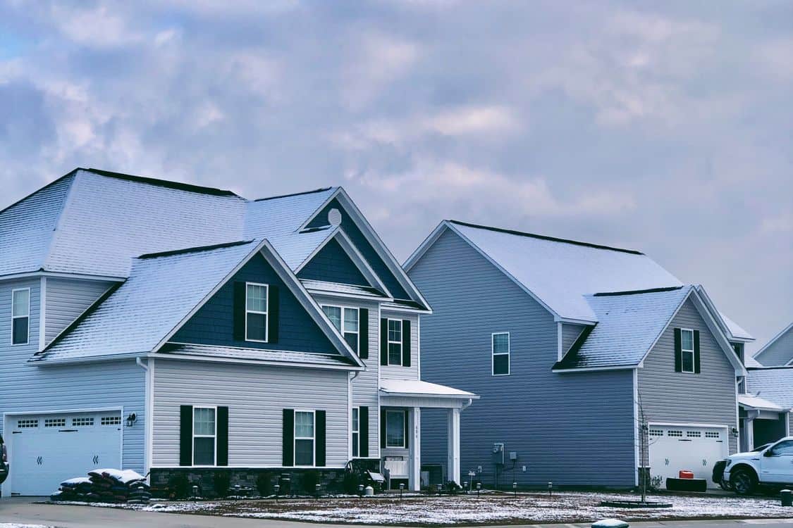
Austin’s winter roof risks can include heavy rain, wind, occasional ice, and sharp temperature changes. Spring severe weather is a separate part of the local climate calendar.
A strong El Niño can influence the large-scale storm track, but it is too large a leap to say the seasonal pattern guarantees more Austin hail or lets homeowners predict individual severe thunderstorms months in advance.
That doesn’t mean a hard freeze is off the table. The same reporting noted that when cold air collides with an active storm track, the result can include sleet, freezing rain, or heavy wet snow, particularly in the type of temperature straddling near-freezing conditions that make precipitation type hard to predict day to day.
That uncertainty is exactly why maintenance is a better response than trying to choose one hazard in advance. For homeowners considering roofing in Austin, the practical response to a strong El Niño outlook is maintenance and documentation, not a prediction that a specific storm will happen.
Central Texas has already seen how quickly a single severe hail event can overwhelm claims adjusters and roofing crews alike, and an active storm track raises the odds of that happening more than once in a season rather than as an isolated spring event. That shifts the relevant planning window earlier, into fall, rather than waiting for the traditional spring severe weather season.
What More Frequent Precipitation Can Reveal
An active storm track compounds existing wear. A roof with marginal flashing, aging pipe boots, or granule loss from last year’s storms doesn’t need a record-breaking event to fail. It just needs enough repeated exposure.
Many Austin homes were built during earlier growth waves, but roof age varies widely because storms and renovations have caused many properties to be re-roofed since original construction. Home age should not be used as a proxy for roof age.
Wind is often the overlooked variable in these forecasts. Storm systems tied to an active subtropical jet bring gusts too, capable of lifting shingle edges already softened by UV exposure and heat cycling over a Texas summer.
No individual house is doomed by a seasonal outlook. The practical response is simply to reduce known vulnerabilities before a potentially wetter winter.
Long-range winter outlooks are always revised as the season approaches, and both NOAA’s Climate Prediction Center and independent almanacs typically update their forecasts through the fall as the atmospheric picture sharpens. Homeowners weighing how seriously to take this year’s outlook should watch for those updates rather than treat any single August forecast as final.